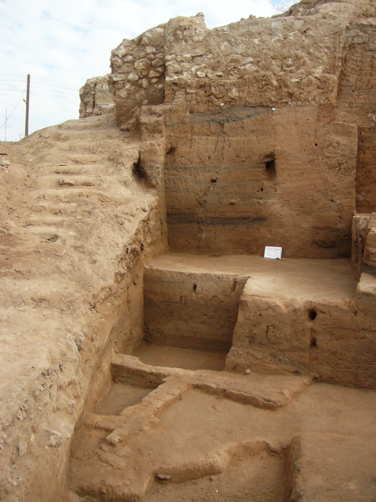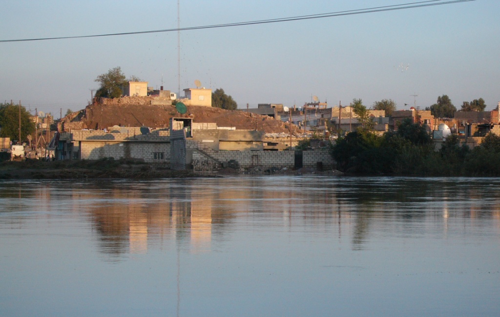
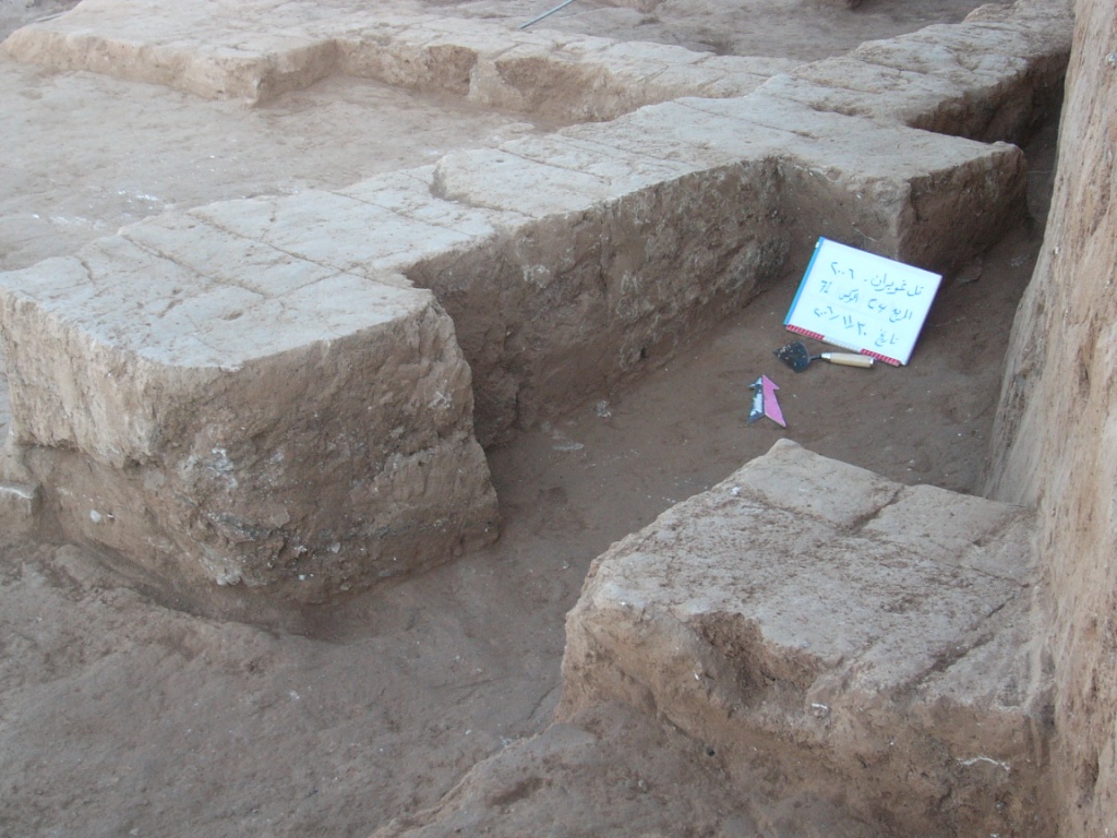
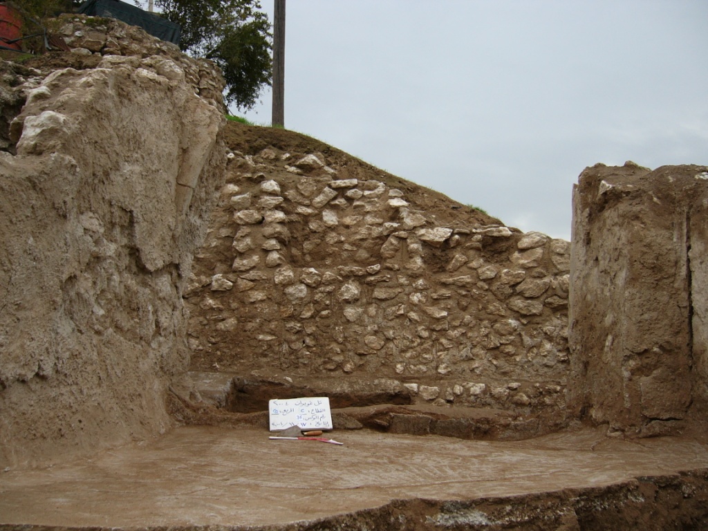
tel Ghuwayran lies on the right bank of the Khabur River, approximately 300 meters south of the city of Al-Hasakah, measuring 80 × 60 meters.
The site was first identified by the German archaeological mission led by Dr. Hartmut Kühne in 1977 during regional surveys. tel Ghuwayran includes a uniquely designed circular temple, resembling Mitannian astronomical towers. The royal palace features gypsum floors and clay tablets documenting grain tax records.
A corner of the temple collapsed due to heavy flooding in 2019, causing partial destruction of the structure.