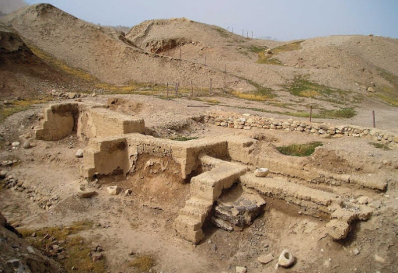
Tell Abu Hurayra
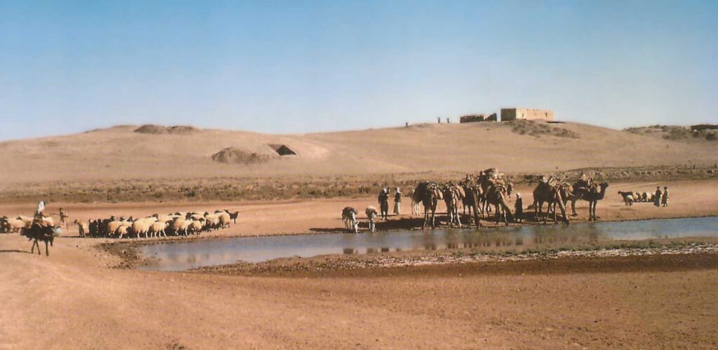
Tell Abu Hurayra is located in the rural areas of Raqqa Governorate, situated on the right bank of the Euphrates River where it makes a significant eastward bend. The tell itself is trapezoidal in shape.
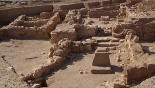
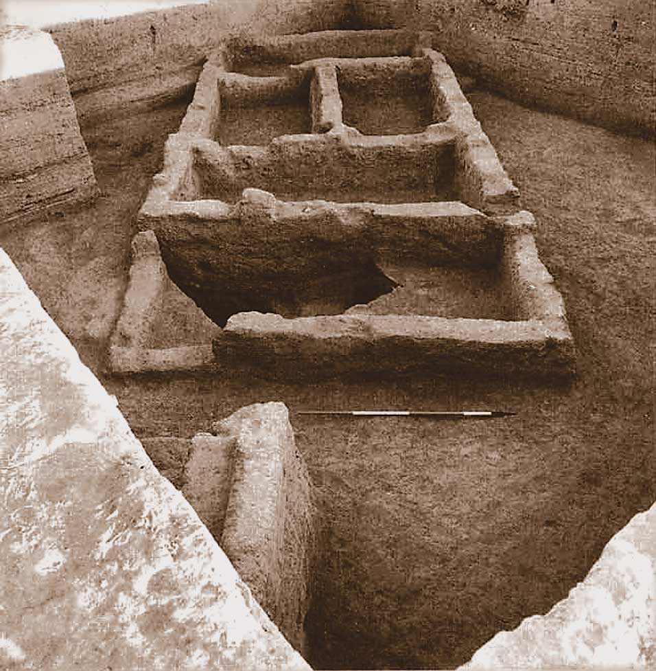
This settlement dates back to prehistoric times, with its remains found in two main layers: the first belonging to the Epipaleolithic period (12,500-10,000 BCE) and the second to the Neolithic period. The settlement’s dimensions stretched approximately 400 meters in length and 300 meters in width, covering an area of 12 hectares. This makes Abu Hurayra one of the largest villages in Syria during the Mesolithic period.
The archaeological tell is said to be located in the Jazira region of the Euphrates, specifically on the right bank of the river at the northern edge of Abu Hurayra village. It’s considered the most important historically dated archaeological site from the Mesolithic era in Syria. It documents the crucial transition phase from nomadic hunting and gathering societies, who lived in caves and natural shelters, to settled agricultural communities.